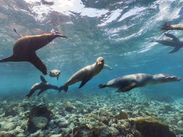
One September 178 years ago, before evolution was "a thing," Charles Darwin made first landfall at San Cristobal in the Galapagos after a four-year journey by ship. Today, in just a few seconds, you can take a virtual journey in his historic footsteps.
Google Maps, in partnership with the Charles Darwin Foundation, is sharing Street View images and 360-degree panoramas of the islands, with cameos from a few of the islands' exotic indigenous inhabitants. The images were collected by explorers who strapped on Trekker cameras and walked all over the islands, a project Google announced in May.
You can take a virtual swim with the sea lions, visit a family of Galapagos giant tortoises, maybe take a beach stroll on North Seymour island and try to spot the "magnificent frigatebird" by its distinctive crimson throat pouch.
The Charles Darwin foundation and Google collaborated on the mapping, partly to assist researchers working on the islands. Besides, one member of the Foundation said in an introductory video, though they're famous, the islands had yet to be mapped in detail.
Google's Trekker cams have dived at the Great Barrier Reef, walked into the Grand Canyon and climbed to the highest floors of Dubai's Burj Khalifa. The virtual tours can't replace being there in person, of course, but they make a great case for taking a trip there yourself.
Nidhi Subbaraman writes about science and technology. You can follow her on Facebook, Twitter and Google+.
