As two tornadoes touched down in Nebraska on Monday, TODAY weather anchor Dylan Dreyer was one of many Americans who couldn't look away. She breaks down what caused this rare weather phenomenon, and why it kept her "glued to the TV."
On Monday evening, I kept receiving alerts on my phone about a dangerous tornado near Pilger, Nebraska. I flipped to the Weather Channel and for the first time in my life, I watched storm chasers capture not one but two massive tornadoes on the ground at the same time a short distance from each other.
WATCH: Deadly twin tornadoes strike Nebraska
This is a rare event to even hear about, but to see it captured on video made this meteorologist stop in her tracks and stay glued to the TV. Little did I know, this video was about to capture the attention of so many — non-meteorologists included.
We’ve all witnessed, whether in person or on TV, the power and destruction of a tornado. As a meteorologist, I know when there’s a good chance they will happen. Simply put, warm, humid air clashes with cold, dry air —those are the conditions that make for an unstable atmosphere that would favor supercell development, which is a developing, intense thunderstorm.
Expanding on that, we use a measurement called CAPE, which stands for Convective Available Potential Energy, to determine just how unstable the atmosphere is in a particular area. The higher the CAPE values, the more energy there is to promote storm growth. CAPE values around 2500-3500 J/kg indicate a very unstable atmosphere. CAPE values above 3500 J/kg indicate an extremely unstable atmosphere. In this environment, along with a rotating column of air, tornadoes can develop.
There are all kinds of tornado outbreaks:
*Single tornadoes that form and dissipate
*Single tornadoes that form, dissipate, then redevelop
*Multi-vortex tornadoes: smaller tornadoes that develop within a larger tornado
*Satellite tornadoes: smaller tornadoes that spin off a larger tornado that usually travel in the opposite direction of the main tornado
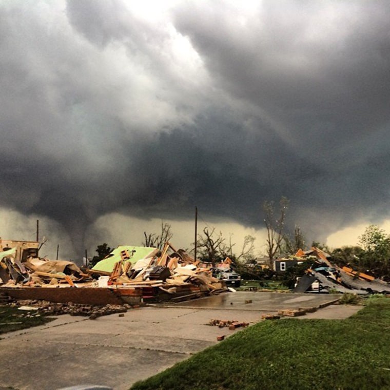
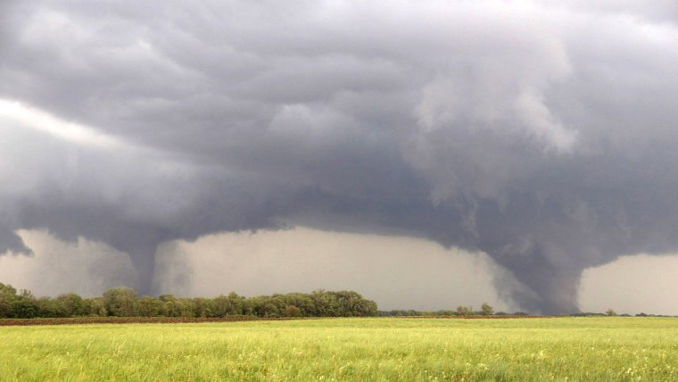
But these “twin” tornadoes were spawned by a supercell so large, so powerful and so intense that they weren’t even related. They were legitimately two separate tornadoes, neither feeding off of nor affecting each other.
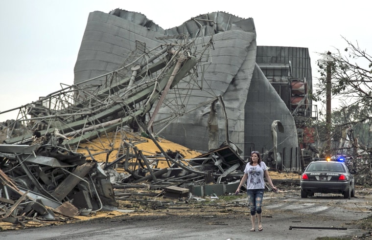
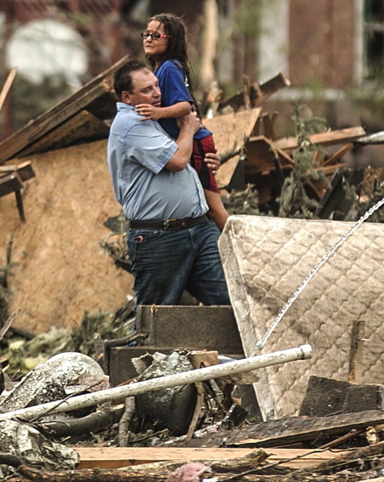
At times, they were about a mile apart, but they were similar in their massive size and incredible strength. That’s what’s rare. And to stay on the ground for an hour — that’s what caused so much damage, wiping out nearly an entire town.
Going back to that CAPE value I referred to earlier: Monday's supercells developed in the unstable atmosphere in Nebraska. I should add it was exceptionally unstable. They developed where CAPE values were just under 6000 J/kg! Remember anything greater than 3500 J/kg raises huge concern. Confidence was high that supercells would develop. Confidence was high that tornadoes would develop.
But “twin” tornadoes are such a rare meteorological occurrence, that no one could have forecast that.
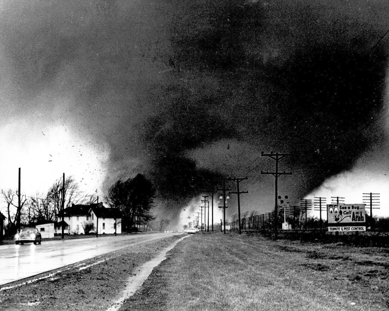
“Twin” tornadoes are not unprecedented. They’ve been documented in the Palm Sunday tornado outbreak in 1965 (but it hasn’t been proven whether they were legit “twin” tornadoes or multi-vortex tornadoes). They have also been reported in an outbreak that occurred in May of 1999.
What was unprecedented was to watch as a storm chaser captured the massive initial tornado, then to see a second equally powerful tornado develop right next to it, then to watch as together they ravaged a small Nebraska town for the next hour.